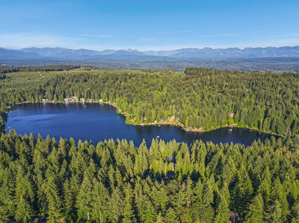
- Ames Lake is located in Eastern King County, Washington, at Latitude 47o 38’ 40’’ North and Longitude 121o 57’ 20’’ West. It is within Section 19 of Township 25 North, Range 7 East.
- The lake surface is at Elevation 240 feet above mean sea level (NGVD 1929 datum).
- The area of the lake is 80 acres. It is roughly kidney-shaped and is about 0.6 miles long (north-south) by 0.25 miles wide in the north half, narrowing to about 0.1 miles wide in the south half.
- Volume of the lake is about 1400 acre-feet.
- The lake is within the Snoqualmie River Basin and has a drainage area of 1.84 square miles.
- The lake has an inlet stream along the northwest side and an outlet stream at the north end. The outlet stream follows Ames Lake-Carnation Road down to the Snoqualmie Valley, where it eventually enters the river about 3-1/2 miles north of the lake.
- The mean depth of the lake is 18 feet, and the maximum depth is 28 feet, which occurs near the south end of the lake.
- Shoreline length of the lake is 1.5 miles.
References
Bortleson, G.C., Dion, N.P., McConnell, J.B., and Nelson, L.M. (1976). Reconnaissance Data on Lakes in Washington, Volume 2, Washington State Department of Ecology and U.S. Department of the Interior Water Supply Bulletin 43, Volume 2.
Topographic Map of the Carnation, Washington 7.5 Minute Quadrangle (photo revised in 1973), U.S. Geological Survey.
