Written by Bert Pschunder
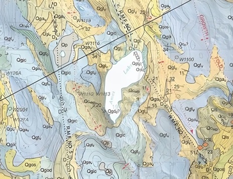
Ames Lake was formed at the end of the last Ice Age in the Puget Sound area. At that time, a large ice block sat in a depression. As it melted, the sand and rock got moved by the streams of meltwater. The water flowed off the side of the ice block, as though the lock was a hill, and deposited the sand and rock around the rim of the ice block. These deposits are called ice contact stratified drift. It’s part of the reason we have a rim of higher ground around the lake.
Another reason for the higher ground is the glacial till deposits, which preceded the ice contact stratified drift. The glacial till included a mixture of silt, sand, and rock, which was deposited under the larger ice sheet that moved down from the north. Thousands of feet of glacial ice compacted the till, which is why it’s so hard to dig!
The lake area as it exists today
Here are some interesting facts about our lake as it exists today:
- Ames Lake’s surface is at Elevation 240 feet (NGVD datum).
- The lake area is 80 acres. It’s about 0.6 mile long (north-south) by 0.25 miles wide in the north half, narrowing to about 0.1 mile wide in the south half.
- The lake’s volume is about 1,400 acre-feet.
- The lake has a drainage area of 1.84 square miles and is within the Snoqualmie River basin.
- An inlet stream is located along the northwest side and an outlet stream at the north end. The outlet stream (informally known as Ames Creek) follows Ames Lake – Carnation Road down to the Snoqualmie River Valley, where it enters the river.
- The mean depth of the lake is 18 feet, and the maximum depth is 28 feet, which occurs near the south end of the lake.
- The length of the shoreline around the lake is 1.5 miles.
![]()
